History · 6 min read
What Medieval Maps Reveal About Beliefs Concerning Earth’s Shape
Why schematic medieval maps do not demonstrate a general flat-Earth belief, and what the uneven archive permits historians to say.
What Medieval Maps Reveal About Beliefs Concerning Earth’s Shape
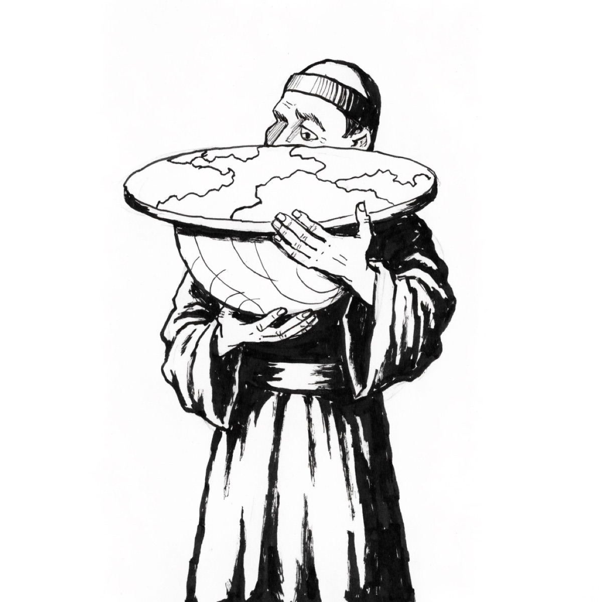
A circular medieval world map can look, to a modern viewer, like evidence that its maker imagined a flat Earth. That inference confuses the shape of a picture with the cosmology behind it. Modern atlases also print a spherical planet on flat pages. A map’s geometry depends on its purpose, conventions, and projection—not only on what its maker believed about the object represented.
The historical finding is well established for educated medieval European traditions: spherical-Earth models remained available and were taught, especially in astronomical texts. The popular claim that medieval people generally believed in a flat Earth is unsupported. A different sweeping claim—that everyone knew the Earth was spherical—is also unsupported. Surviving sources disproportionately record clerical and learned views, while some authors used ambiguous or non-spherical imagery. Maps reveal a mixture of geographic knowledge, theology, history, and symbolism rather than a public-opinion survey.
A mappamundi organized meaning, not only distance
Medieval European mappae mundi varied from small diagrams in manuscripts to large display objects. Many place east at the top, locate Jerusalem near the center, and arrange Asia, Europe, and Africa within an encircling ocean. Biblical events, animals, cities, and legendary peoples can occupy more visual space than coastlines. Their purpose included teaching sacred and classical history, ordering places in relation to a Christian narrative, and displaying knowledge.
The Hereford Mappa Mundi, made around 1300, is the largest surviving example of its kind. The Hereford Cathedral’s digital project identifies hundreds of inscriptions, including biblical scenes, towns, plants, animals, and marvels. Its circular inhabited world is not a scaled navigational chart. Treating its perimeter as a cross-section of the planet would misread the genre.
Historian David Woodward’s chapter on medieval mappae mundi in the University of Chicago’s History of Cartography emphasizes their schematic and didactic functions. The known inhabited lands could be represented as a circle while the Earth itself was understood as a sphere. Medieval writers often distinguished orbis terrarum—the circle of lands—from the globe of the cosmos.
This does not make the maps failed modern atlases. A diagram optimized for pilgrimage, chronology, or theological relations will not preserve area and direction as a nautical chart does. The relevant question is what task the map was built to perform.
Textbooks supplied explicit arguments for a sphere
Written sources make learned cosmology clearer. Bede, an eighth-century English monk and scholar, described Earth as a globe in The Reckoning of Time. He explained unequal day length through a spherical Earth and the Sun’s path. His wording distinguishes a globe from a flat shield while acknowledging mountains and plains on its surface.
In the thirteenth century, Johannes de Sacrobosco’s De sphaera mundi became a widely copied introduction to astronomy. It offered observational arguments: stars visible at one latitude are not visible at another; eclipses occur at different reported times in eastern and western locations; and an observer climbing a mast can see farther. More than 300 medieval manuscript copies survive, followed by many printed editions after 1472. That transmission demonstrates a durable educational tradition, though not what every reader believed.
Aristotle’s arguments for a spherical Earth, Ptolemaic astronomy, and later Arabic and Latin astronomical work formed part of the intellectual inheritance. University curricula taught a geocentric cosmos composed of spheres, with spherical Earth near the center. “Geocentric” does not mean “flat”: it concerns Earth’s position, not its shape.
Nor did acceptance of sphericity settle all geographic questions. Scholars disagreed about the extent of inhabitable land, the proportion of land to water, and whether people could live in the antipodes. A spherical model can coexist with mistaken estimates and theological disputes. Columbus’s westward proposal, for example, did not pit a lone spherical-Earth believer against flat-Earth authorities. The practical disagreement concerned the westward distance to Asia and the size of the intervening ocean. Columbus underestimated it.
Minority and ambiguous views complicate the correction
Correcting a myth can produce a mirror-image myth. Late-antique authors such as Lactantius rejected aspects of spherical cosmology, and Cosmas Indicopleustes presented a tabernacle-shaped world in the sixth century. Their works show that non-spherical models existed. Historians dispute how influential some were in medieval western Europe. Citing them as proof of a general consensus is as misleading as pretending they did not exist.
Biblical and poetic language also requires care. References to the “ends” or “corners” of Earth may be figurative, just as similar phrases are now. An illumination can depict a disc for compositional reasons. Conversely, a circular image alone does not demonstrate that the artist consciously endorsed a sphere. Conclusions are strongest when images are read with associated texts, genre conventions, and manuscript context.
The largest evidence gap concerns people who left few records. Learned clerics, court scholars, merchants, and navigators appear in different archives; most rural laborers do not leave treatises on cosmology. It is plausible that ordinary beliefs varied and that many people had no elaborated position. Historians can establish what educational texts taught more securely than what “the average medieval person” imagined.
Regional boundaries matter too. “Medieval” spans roughly a millennium, and “Europe” contains Latin Christian, Byzantine, Jewish, and Islamic intellectual networks. Arabic-language astronomers preserved, criticized, and extended Greek mathematical astronomy; Latin translations transmitted portions of that work. A claim about one monastery in 800 cannot automatically describe Córdoba in 1100 or Paris in 1300.
How the flat-Earth story became persuasive
The general medieval flat-Earth story gained force in the nineteenth century. Washington Irving’s 1828 fictionalized biography of Columbus dramatized clerical objections, though Irving did not single-handedly create the idea. John William Draper’s History of the Conflict between Religion and Science (1874) and Andrew Dickson White’s later “conflict thesis” presented science and religion as enduring opponents. The flat-Earth episode made a vivid scene within that larger argument.
Twentieth-century textbooks and popular retellings repeated a simplified Columbus story: educated authorities feared that ships would fall from an edge, while empirical courage revealed a globe. The narrative offered recognizable heroes and villains but fit neither the medieval astronomical curriculum nor the actual debate over the voyage.
Modern historians of science have strongly revised this account. Lesley Cormack’s study “Flat Earth or Round Sphere” traces the misconception and emphasizes that medieval geographic thought cannot be reduced to one map image. The correction is not that medieval scholars possessed modern geography. It is that sphericity was not the dividing line later storytellers made it.
What maps can and cannot establish
Medieval maps establish that their makers organized the world through priorities unfamiliar to a modern road atlas. Sacred history could determine the center; east could determine the top; marvels and ancient authorities could share space with observed places. Those choices reveal intellectual purpose.
Read alongside Bede, Sacrobosco, university astronomy, and the maps’ own inscriptions, they do not support a general belief in a flat Earth. They also do not license claims about every medieval mind. The strongest conclusion has defined boundaries: educated spherical-Earth traditions were widespread and durable; some alternative models existed; ordinary belief is less recoverable; and circular mappae mundi are not straightforward diagrams of planetary shape.
The myth persists partly because it turns a complex archive into a clean story of ignorance replaced by discovery. The archive supports a quieter history. People can know that Earth is spherical while mapping it symbolically, estimating it badly, disputing its inhabited regions, and placing it within a cosmology now rejected. Knowledge does not arrive as a single package.
Sources
4 sources, every one with a link you can follow.
- David Woodward, “Medieval Mappaemundi,” The History of Cartography.
- Hereford Cathedral, digital Hereford Mappa Mundi.
- Lesley B. Cormack, “Flat Earth or Round Sphere” (1994).
- Library of Congress, medieval mappamundi collection record.